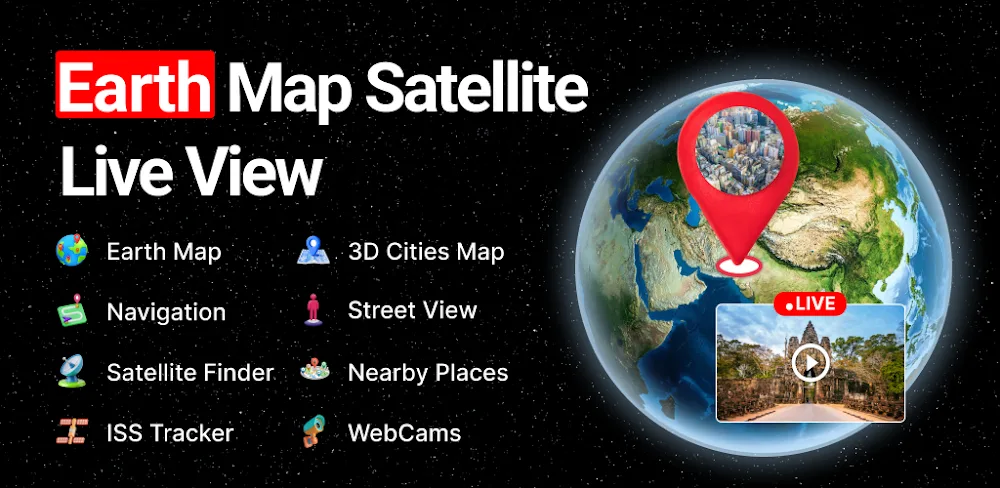

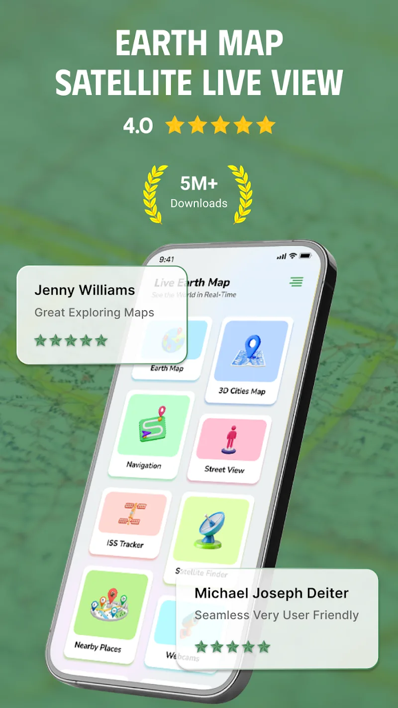

Earth Map Satellite Live View is a smart application that provides intelligent online satellite maps for users. This smart application allows users to explore the world with HD street view, 3D maps, and real-time GPS navigation right on their phones.
EXPLORE THE ENTIRE WORLD THROUGH SATELLITE MAPS
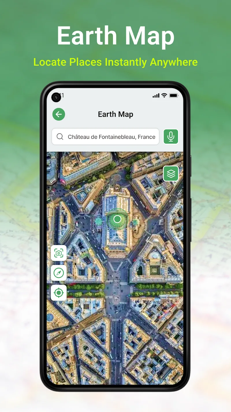
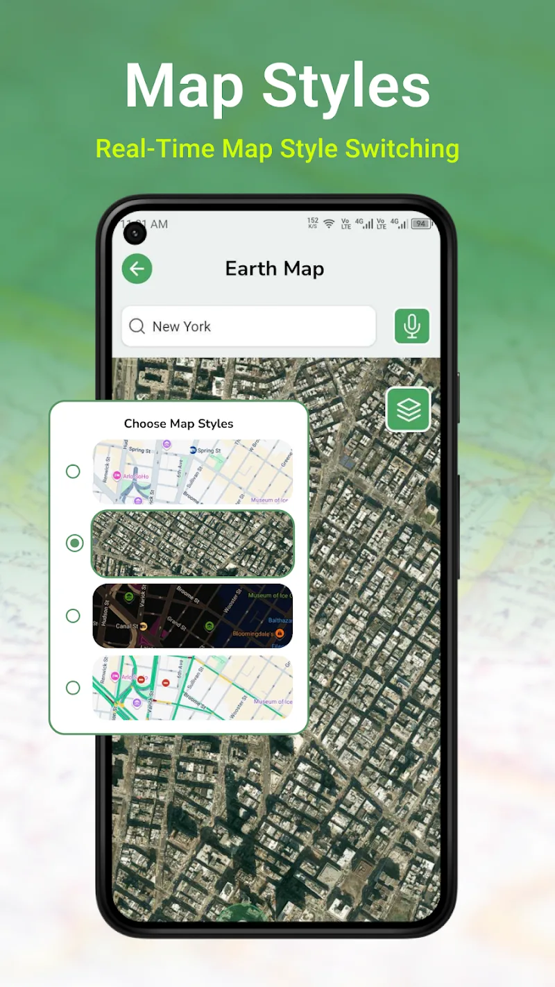
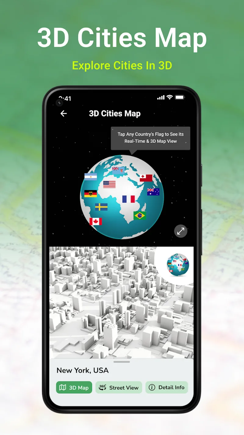
This application displays a live world map on your phone with realistic satellite imagery. With 360° earth view, users can view, explore, or search for any location in real time.
REALISTIC STREET VIEW MODE
This application allows users to zoom in to observe details of specific areas or locations such as streets, restaurants, parks, schools, etc.
In this application, the entire street image is designed in 3D with meticulous detail. The HD quality images are delivered to users thanks to the application’s impressive satellite system.
VOICE-BASED NAVIGATION VIA GPS
This application integrates a digital compass to accurately determine direction and navigate personal areas, helping to find nearby locations.
In addition, the application can also guide you using smart GPS technology, allowing the application to display distance and travel time based on the most accurate GPS calculations. With this smart technology, the app will also become your guide, allowing you to navigate using voice commands for safer driving and choose shorter routes thanks to easily visualized live traffic maps and routes.


Comments (0)
No comments yet. Be the first!